PASADENA, Calif. () — Those living in vulnerable areas, including burn scar zones, are doing everything they can to prepare for heavy rain and potential flooding as a storm heads to Southern California this week.
The rain is expected to move in on Tuesday, but the biggest concern is what happens late Tuesday night into Wednesday.
That’s when rain could fall fast enough to flood streets, overwhelm storm drains and trigger mud or debris flows, especially near hillsides and recent burn areas.
It’s expected to be one of those storms where the total rain matters, but how quickly it falls matters even more.
SEE ALSO: Christmas week storm: Timeline of when atmospheric river will hit SoCal
An atmospheric river will bring heavy rain to the Southland, which will be the wettest region in the world during Christmas week. Here’s a breakdown of the storm’s timing.
Even after the midweek peak, rain is expected to linger.
Showers could continue into Christmas Day and possibly beyond, making way for saturated ground, standing water and conditions that can change fast.
That’s why emergency officials are urging people not to wait until the rain is falling to prep.
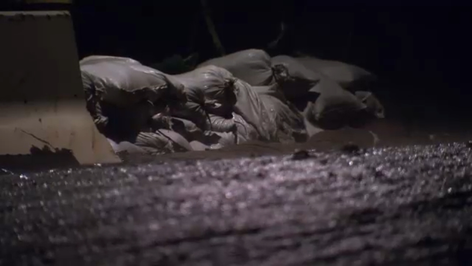
If you live near a hillside, a burn area or a street that floods easily, now is the time to get sandbags, clear storm drains and think about where water tends to go around your home.
Forecasters from the National Weather Service say the worst of the storms could hit while you’re sleeping overnight, so it’s best to prepare while you can.
Sandbags are already being distributed at sites in fire-impacted areas.
© 2025 Television,
