





 Weather
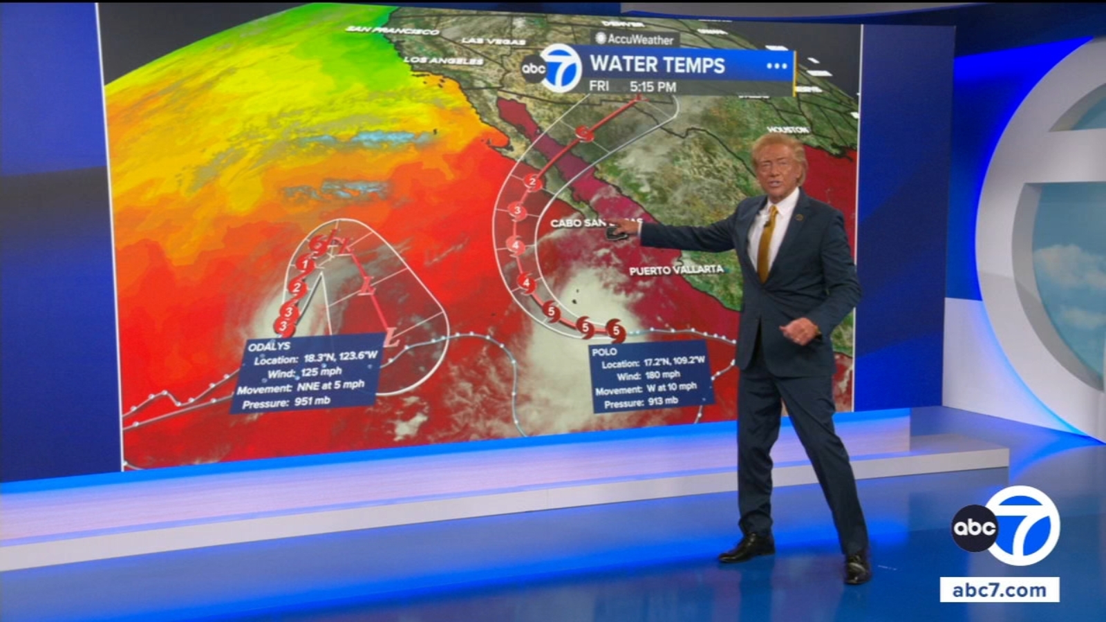
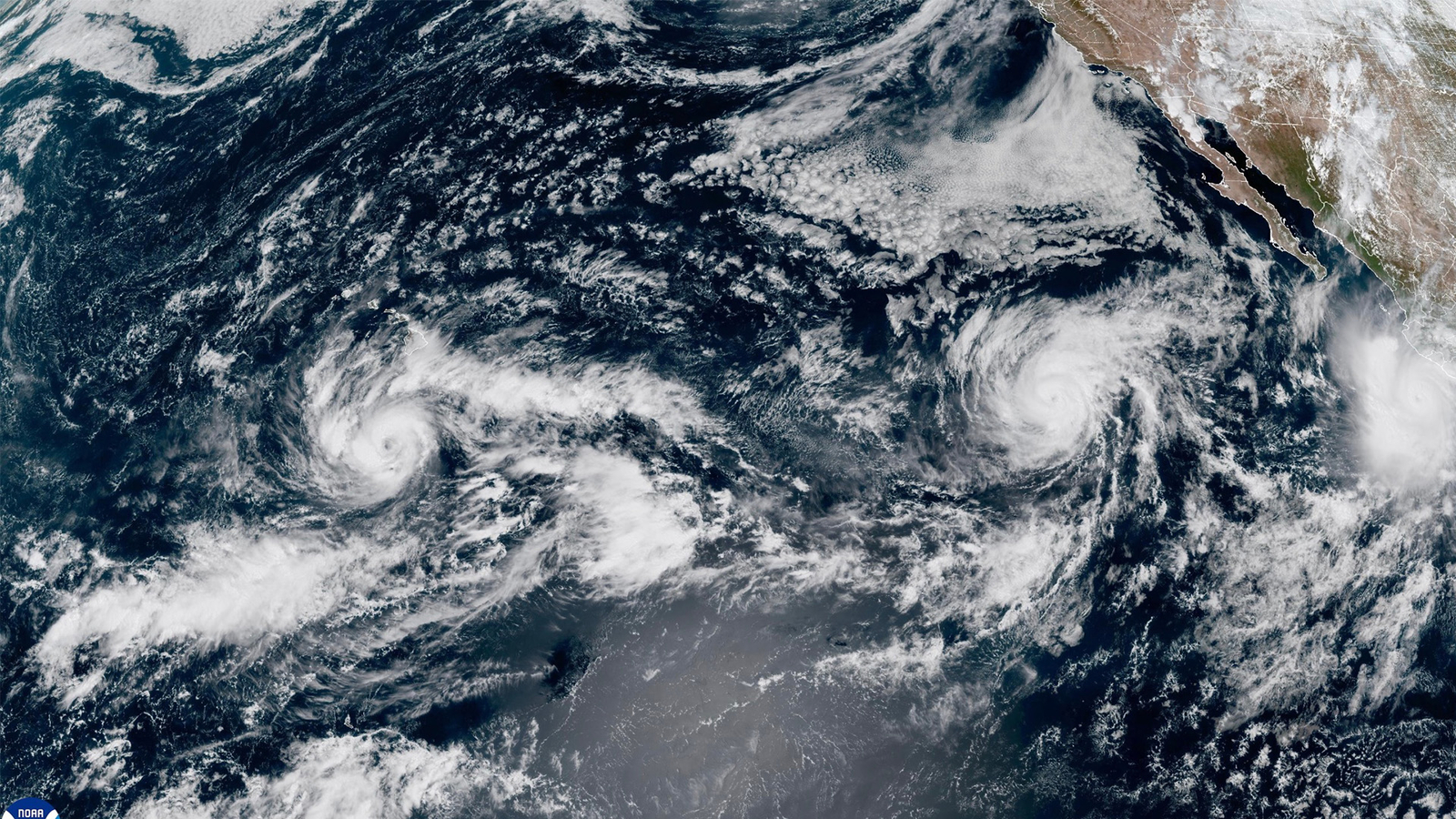
LOS ANGELES () — Hurricane Polo continues to churn in the Pacific near Mexico. Here’s how the storm will impact Southern California.
Polo is expected to track north-northwest before it starts to turn east and eventually make landfall in Mexico.
It is not expected to make landfall in Southern California. However, it is still expected to impact our region.
Hurricane Polo – SoCal impact timeline
The Southland will see increased surf and higher humidity by early next week. Dangerous rip currents and coastal erosion will be a concern.
There is a beach hazard statement in effect for SoCal’s coastline. It’s expected to stay in place until Sunday evening.
Polo’s outer bands carry a lot of moisture, but that moisture is not expected to translate into heavy rainfall for Southern California – just added mugginess in the air.
As of Friday, forecast models indicated the outermost bands of Polo may bring some light rain to San Diego County with some drizzle possibly straying further up into SoCal on Sunday and potentially lingering into Monday.
Of course, all of this depends heavily on the actual direction that Hurricane Polo takes in its path.
Hurricane Polo continues to churn in the Pacific. The powerful storm is expected to veer north and make landfall in Mexico. Here’s how the storm will impact Southern California.
Hurricane Polo – Mexico impact
The hurricane center said Polo gained significant force overnight into Friday morning and doused parts of Mexico’s Pacific coast. No major damage or flooding was reported along the coast overnight into Friday.
By midday Friday, attention turned to the Baja California Peninsula, where the hurricane was slated to arch back and hit between Monday and Tuesday. Local authorities were preparing shelters. Mexico’s government announced Friday afternoon that they were closing ports in the region as dark clouds swirled overhead.
The latest estimated sustained winds were 180 mph.
The Associated Press contributed to this report.
© 2026 Television,