











LOS ANGELES () — This week’s slight cooldown will be short-lived, with forecasters warning Tuesday that widespread dangerous heat is expected to return to the Southland by the weekend.
While temperatures are expected to ease by a couple of degrees Tuesday through Thursday, the National Weather Service said residents should use the break to prepare for another prolonged stretch of triple-digit heat beginning Friday.
“Have a plan to stay cool, especially if work or other activities take you outside mid-morning to mid-evening hours or do not have access to air conditioning,” the NWS said.
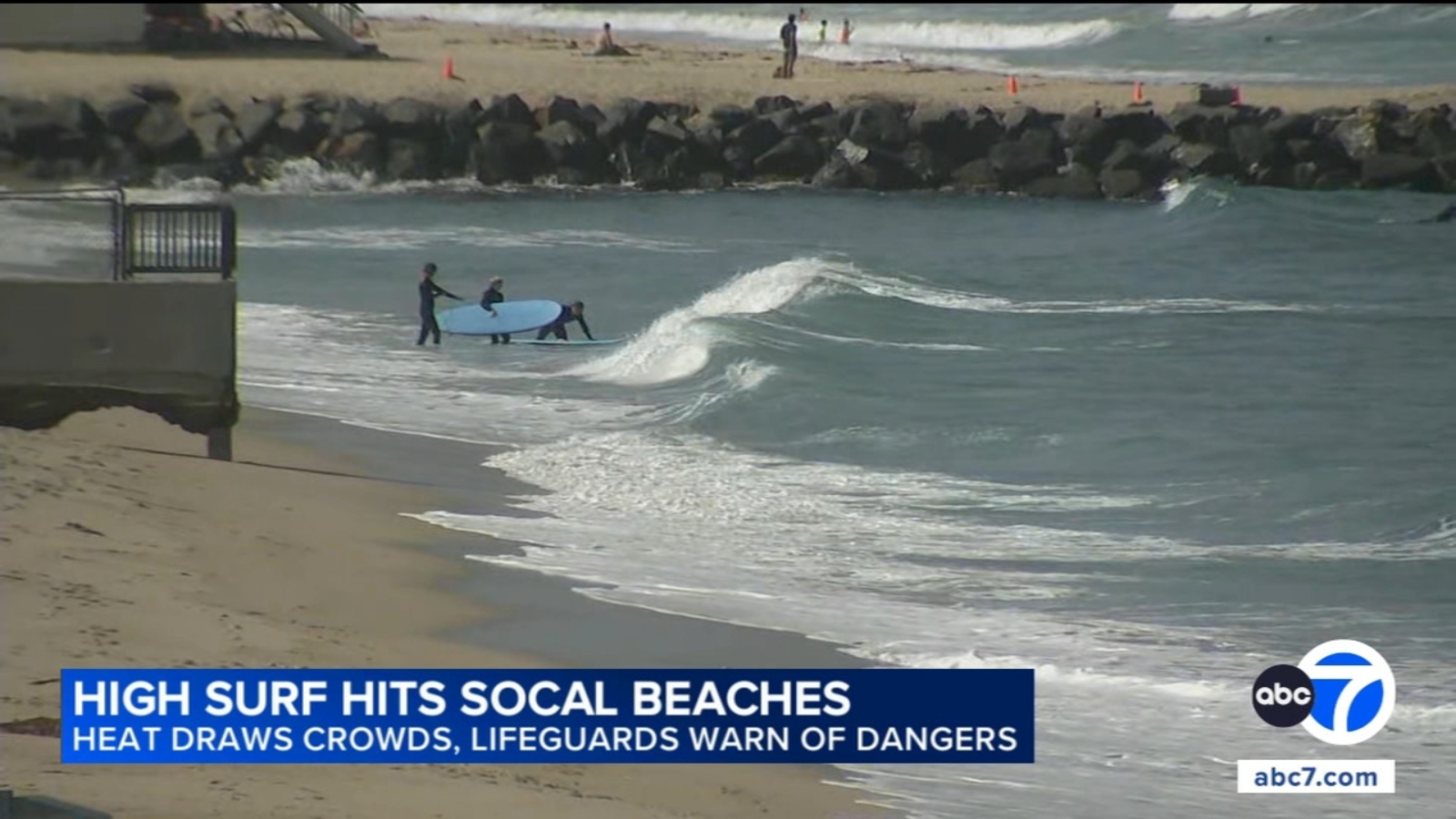
Be sure to keep an eye out. Los Angeles County lifeguards reported nearly 2,000 rescues in the past few days – 1,000 on Saturday alone.
Widespread moderate to high heat risk is expected Friday through the weekend, when temperatures are forecast to climb into the mid-90s to 105 degrees across most inland communities.
The NWS issued an extreme heat warning that will be in effect from 10 a.m. Thursday through 8 p.m. Sunday for the Antelope Valley and Antelope Valley Foothills, where temperatures of 105 to 115 degrees are possible.
In the western San Gabriel Mountains and the 5 and 14 Freeway corridors, a heat advisory will take effect at 10 a.m. Thursday, with triple-digit temperatures anticipated, but it will be replaced by a more severe extreme heat warning at 10 a.m. Friday through 8 p.m. Sunday, when highs are expected to range between 95 and 105 degrees.
An extreme heat warning will also be in effect from 10 a.m. Friday through 8 p.m. Sunday for the Santa Monica Mountains Recreational Area, Calabasas, Agoura Hills, the San Fernando and San Gabriel valleys and the Los Angeles inland coastal area, including downtown. Those areas could see “dangerously hot conditions” with temperatures of 95 to 110 degrees, according to the NWS.
The eastern San Gabriel Mountains will be under a heat advisory starting at 10 a.m. Thursday and continuing through 8 p.m. Sunday, while Los Angeles County beaches, the Malibu coast and Palos Verdes Hills will be under a heat advisory from 10 a.m. Friday through 8 p.m. Sunday. All of those areas could see temperatures as high as 100 degrees, forecasters said.
“Now is the time to start socializing this threat with your community and family and consider rescheduling activities that might but you or your loved ones at risk,” according to an NWS statement. “Have a plan to stay cool, especially if work or other activities take you outside mid-morning to mid-evening hours or do not have access to air conditioning.”
In Orange County, temperatures are expected to ease slightly Tuesday and Wednesday before climbing again later in the week. Anaheim is forecast to reach 92 degrees Friday and 95 Saturday, while forecasters said the hottest weather is expected Friday through the weekend.
An extreme heat warning will be in effect from 10 a.m. Friday through 8 p.m. Sunday in the Santa Ana Mountains and foothills, with temperatures up to 103 possible, and in Orange County inland areas, which could have temperatures in the upper 90s. A less severe heat advisory will impact Orange County coastal areas from 10 a.m. Friday through 8 p.m. Sunday, with highs expected in the mid-80s to lower-90s.
The weather service also warned that hot, unstable conditions and pockets of gusty winds could elevate the risk of large wildfires heading into the weekend.
City News Service, Inc. contributed to this report.
© 2026 Television,