


ALTADENA, Calif. () — If you’ve got any last-minute Christmas errands to run, Monday is probably the best day to take care of it all.
Southern California is preparing for four days of rain expected to begin Tuesday, and the biggest concern is what happens late Tuesday night into Wednesday. That’s when rain could fall fast enough to flood streets, overwhelm storm drains and trigger mud or debris flows, especially near hillsides and burn scar areas.
A Flood Watch is in place for most of the greater Los Angeles area starting Tuesday at 4 p.m. through Friday at 4 p.m., with hourly rainfall rates of 0.75 inches to 1.25 inches an hour.
Start preparing now
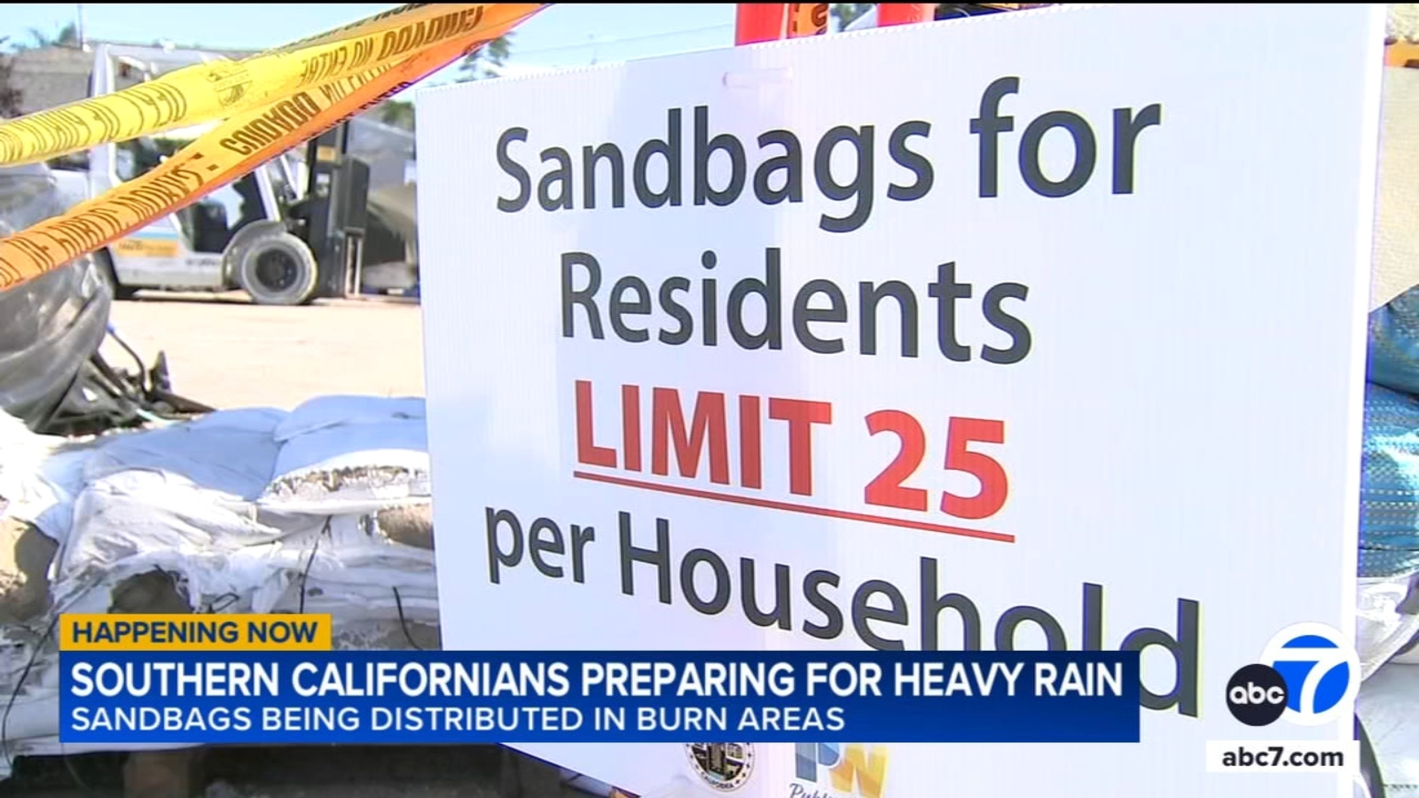
If you live near a hillside, a burn area or a street that floods easily, now is the time to get sandbags, clear storm drains and think about where water tends to go around your home.
People who live in Altadena can pick up sandbags at the Public Works Fleet Maintenance Yard on Mountain View Street. Those living in the Palisades Fire burn scar area can head over to the Malibu Library parking lot.
The National Weather Service said an atmospheric river that has been pointed toward northern California the last few days will shift south and take aim at Southern California on Tuesday, with less than a half-inch of rain expected Tuesday evening before the heaviest part of the storm occurs after midnight Tuesday night into Wednesday.
“Hourly rain rates, especially in the upslope areas, should easily top one inch per hour during the peak of the storm on Wednesday,” the NWS said. “The heaviest rain will be in the south-facing mountains, but very heavy rain, possibly close to an inch per hour, is possible at lower elevations as well and anyone in particularly vulnerable areas … or any recent burn scars should start taking protective actions ASAP.
“There will almost certainly be numerous mudslides, severe flooding either from heavy rain or clogged storm drains, and possibly debris flows near recent burn scars,” forecasters continued.
While the worst of the storm will likely be Wednesday, periods of rain, possibly heavy at times, are expected on Christmas Day. Moist south to southwest flow will continue to usher in sporadic showers to the area Friday and Saturday, though rain amounts by that time should be under a quarter inch per hour.
Snow is not expected to be a major factor with this event, with levels dropping to around 7,000 feet Thursday and Friday.
A cooling trend will arrive ahead of the storm, with Monday’s high temperature expected to reach 67 degrees in downtown Los Angeles, then decrease gradually to 59 on Friday. Overnight lows will generally be in the 50s for the beginning of the week, then drop into the 40s in some areas later in the week.
City News Service, Inc. contributed to this report.
© 2025 Television,


